No Straight Lines and The Importance of Reading
The thing about motorcycling is that it’s about anything but a straight line. It’s also about the road, not the destination – I didn’t even have a putative destination for this trip, just a big circle. So, efficient people who wanted to get to Castellane from the gite would have taken 2h46m to do it. The route I had planned was about 8.5 hours. Of riding, not taking into account stops or detours.
I haven’t actually planned these routes to be honest. I downloaded and adapted some gps tracks from the UK Ride magazine (Tour 5 from the link), which called this an intense trip. They weren’t kidding. Lots of technical riding – lovely, but tiring.
I hate to be typical in this, but it really is a middle-aged approach – go back to a hobby you did when you were younger, without taking into account that you haven’t done it in a while (like 12 years) and expect that you can dive back in without working up to it.
In any case, my middle-aged bones woke up in the absolute stillness of this location. It smelt and felt as crisp and fresh as it looks.

Then back down the hill.

To start enjoying some lovely swooping riding around the lake.

Around here, I accidentally fell in with a tour group for a while, which was nice. I’ve been passed by other motorcyclists a lot on this trip. When I rode all the time, I was fairly fast (though not among the fastest), but I find myself on this trip riding exactly like what I am: a middle-aged mother who hasn’t ridden in a long time. Mostly the maturity that should come with that also lets me not be too bothered by being passed, but yeah, it does still rankle a bit. So it was nice to feel like I could keep up with others and I was a bit sad when they headed in a different direction.

I stopped at the Lidl (my store of choice on this trip) for my typical baguette, cheese and snacks, before heading off for another Col.

It didn’t look like much in the beginning.

But it just kept going up.

And here too was a photographer lying in wait for vehicles to come by. I actually love this picture.

And this one as well.

This one was cool too, but I mostly got it because it was buy 2, get 1 free. I blame the Dutch passport for not being able to pass this sort of thing up.

Looking back.

And at the Col de Bonnette. Highest pavement in France. Everybody else was getting their picture taken!

The route back down.

This looked kinda cool but I didn’t really want to stop, so I looked it up later. It was the Camp des Fourches (French link), an army barracks built starting in 1889. It was abandoned sometime after WWII and there have been various attempts to restore it, but there’s nothing but signs there now.

After I got down, the road followed a lovely gorge where the rocks had a bit of a purple hue, making it feel like you were in a badly developed film picture from back when we did film.

I was enjoying it so much that I was a bit miffed when the gps told me to turn off on what looked like another narrow winding road with lots of switchbacks.
By gorge. I’ll miss you.

I really will. Look how pretty you were. I head up little tiny roads in the drizzle.

Huh. So, there had been some sort of sign that I didn’t quite read as I turned, but went on looked like nothing was closed. Imagine how much I kicked myself for not looking at it closely when I got to a particular town and found that the road I needed (apparently down a quite lovely gorge) was completely closed for repairs, and there was no detour that would get me anywhere near where I needed to go? Crap. What do you want to bet that’s what the sign said?
I did get to see a cute village perched on the side of a cliff. And it’s switchbacks. Both ways.
Little tiny windy road heading back to the gorge. I’d already been up here.

So, yeah, when there’s a sign advising of a road closure, it’s generally a good idea to check if the road closed is indeed the one you want right then and there rather than trusting for the best. This was the sign. Doh.

When I got back to the gorge, it was raining until I passed under another range.

Then I skirted the urbanized outskirts of Nice before turning North again, up over another mountain.

At that point, I cut off a bunch of the route to make a straight shot for my campground. I have to say that there was a fair bit of FOMO for the gorgeous sights I’d be missing out on, but I didn’t have any extra days in the schedule and I wanted to get back on time. And I was tired.
So I put up with some more pleasant but boring roads.

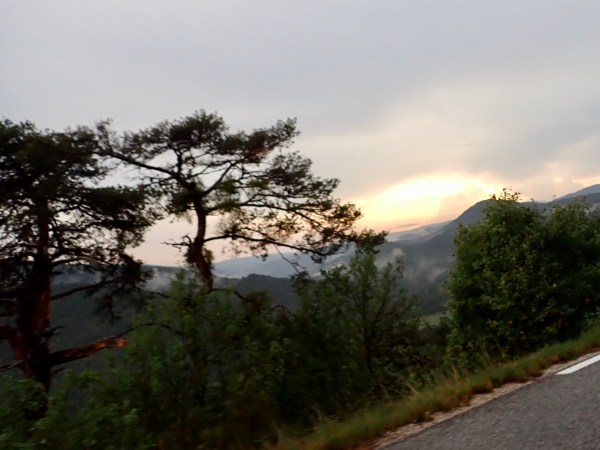
And some pretty views.

And this.

And was glad of my decision as darkness fell.

After setting up camp, I headed to the supermarket to see what I could rustle up. It was a bit of a touristy place and I had no desire to deal with finding a restaurant and sitting in it so I found some sort of fishy thing that could be heated with a hot water bath. And wine.

The route for the day as I did it.

As RIDE plotted it.

And the elevation changes. With the little mirror image bit of the detour.

But now I’m back on track to make my way back north and home.